
Sampling, precision farming, soil scanning
Precision farming is a combination of technical, IT, information and crop technology applications that make crop production more efficient.
Because of the challenges facing agriculture, precision farming is of priority importance. The transition to precision farming has many technical and technological requirements. These technical backgrounds require significant investments. However, in order for technology to be effective and accurate, we need the right amount and quality of information. Knowledge of soil characteristics is required for the selection of cultivation and for a sound tillage.
GIS plays a role in soil cultivation when we want to extend existing soil and other environmental information, which is collected by spotting and / or remote sensing, to a spatial object. Thus, with the help of GIS, we can demarcate the so-called farming units, where the soil can be considered almost homogeneous from the point of view of tillage. The establishment of cultivation zones is the basis for soil sampling.
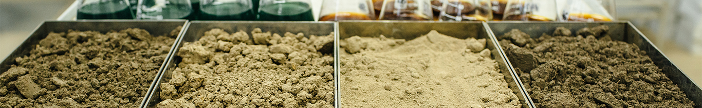
Soil sampling can be done manually or mechanically. Our company has both sampling methods available to farmers. According to our experience, there is a great need for manual sampling as well, since this sampling method can be used well in standing cultures (e.g. avoiding economic damage, e.g. trampling). According to current EU regulations, one average sample is to be taken every 5 hectares. Professional soil sampling is the basis for a nutrient management plan based on accredited soil test results. Soil sampling consists of the formation of average samples from multiple plots in the area to be sampled. An average sample consists of abt. 20-25 subsamples. The sub-samples are homogenized by blending to form an average sample of 0.5-1 kg, which is representing an area of 5 ha.
Soil scanning is nothing more than digital soil mapping that is the result of GIS and remote sensing. With this method, we can map the different soil characteristics of the area, providing a basis for precision soil sampling and paving the way for precision farming. Soil scanning is a geophysical measurement method that can measure and analyze different soil depths by detecting electromagnetic radiation emitted by a scanner. Using the resulting raw data, a software expert can easily produce different soil compaction, water saturation and soil mechanical parameters, different soil types. These soil features can be easily displayed on a map, providing a basis for differentiated tillage, nutrient replenishment, irrigation, sowing, precision soil modeling, which can also be displayed on a map and fed back into the tractor's digital unit based on these maps.
If there are differences within the field in harvested crop yields, plant development, or even visible soil drainage and soil moisture, it is strongly recommended that a full field scan of the area be performed.
Soil scanning can be done without breaking the soil surface by walking around the board. The soil scanner we use measures the conductivity (EC) of the soil at 4 different soil levels up to a depth of 1.1 meters. Mounted on an off-road vehicle, the scanner records data 30 cm above the board, avoiding physical contact with the ground. After processing the raw data, we can divide the table into zones based on the different soil properties, so the soil modeling by zone eliminates the randomness and the soil nutrient enabling a more accurate nutrient management plan and thus more efficient cultivation.
Soil scans from our company provide farmers with a wealth of information such as:
- automate agricultural work phases
- optimal tillage (proper tool and depth)
- decrease fuel consumption (reduced thread, traction)
- reducing the amount of seed, organic and fertilizer to be used
- the soil can be repaired and maintained as a resource
- the rate of erosion can be reduced
- reducing wastage of material used
- use of irrigation water can be optimized
- increase the yield
Tel.: +36 30 768 2785